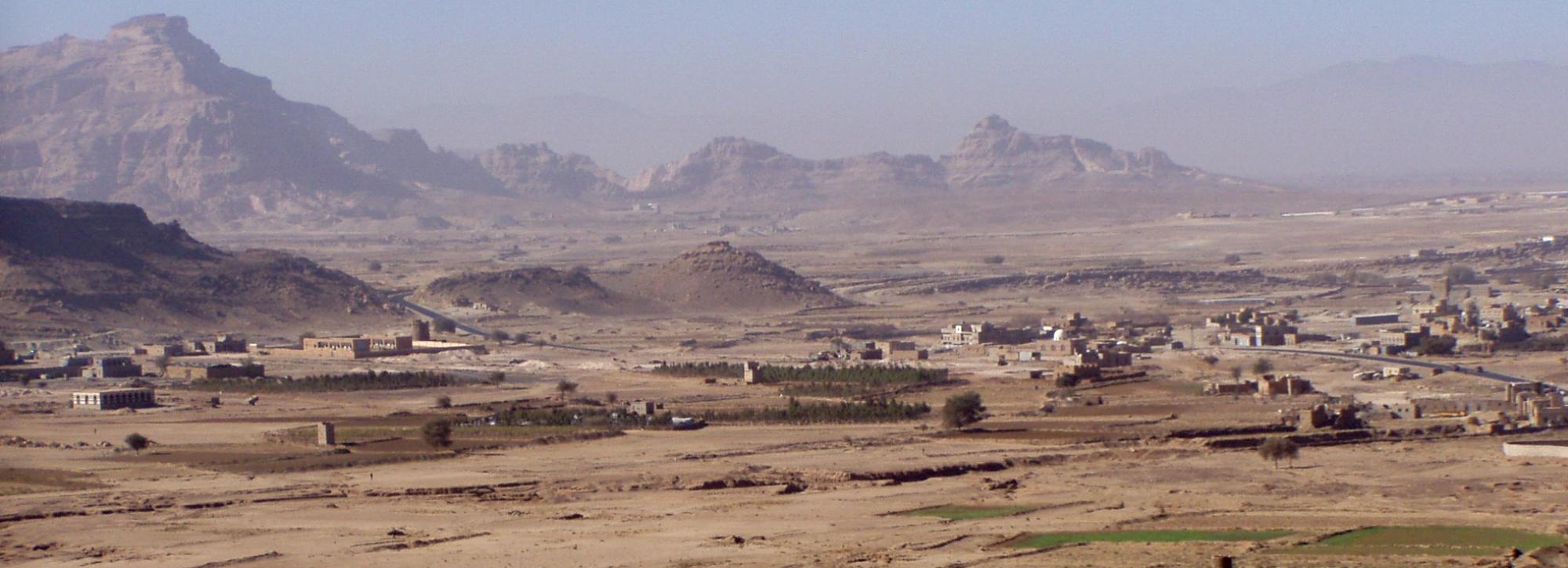
Yemen embraces pioneering space technology to manage water crisis
Depletion to Yemen’s groundwater reserves, vital for drinking water and food security, has been largely unrecorded over the last decade because of the conflict there. In response to the ongoing water crisis, a consortium led by HR Wallingford, is implementing an innovative earth observation system to monitor groundwater remotely and explore how changing climate and water demand could impact it. George Woolhouse explains.
Yemen has a long and rich history of innovative water management. The Great Marib dam, built almost four millennia ago, was one of the wonders of the ancient world, supplying a complex irrigation system with water flowing from the mountains. Traditionally, these were supplemented with springs, shallow hand dug wells and irrigation harnessing spate flows. These systems sustained irrigated agriculture, while on terraced slopes agriculture was traditionally rain fed, relying on the wetter conditions in Yemen’s mountainous interior.
Rapid population growth from the 1970s onwards, coupled with a massive expansion in drilling of new boreholes with diesel powered pumps, meant that previously untapped groundwater resources were made available for exploitation on a large scale. With agricultural output increasing, groundwater levels dropped rapidly, while traditional rainfed terraces and spate systems fell into disrepair. Boreholes were then drilled deeper, raising pumping costs for farming. More recently, solar powered pumps, while offering low cost water to farmers, have increased the risk of inefficient water use, while the rising growth of the narcotic crop Qat has been consuming a substantial proportion of water used in Yemen. By the time the conflict began in 2015, groundwater levels were dropping faster than they could be replenished.
In Yemen now, 24 million people (almost 80% of the population) require some form of humanitarian assistance. For those trying to plan and implement humanitarian responses to Yemen’s refugee crisis and famine, water scarcity is a real issue. There are questions that aid agencies need answering urgently: Which vulnerable populations are most exposed to water scarcity risks? Where is groundwater depletion affecting livelihoods and food security?
Unfortunately, the conflict has made it almost impossible to monitor groundwater levels using manual well monitoring or data loggers. Since the conflict began, little information has been available on whether the trends in groundwater depletion have accelerated or reduced and where the greatest pressures lie. Yet to help manage water resources and allow agencies to plan interventions, it’s important to know how much water is available.
Space technology solution
To solve this measurement problem, the Foreign, Commonwealth & Development Office funded the HR Wallingford led consortium to develop a new system using space technology to monitor groundwater in a test area. Having proved successful on a small scale, the team is now planning to roll it out nationally, focussing on areas where populations and croplands are at risk from groundwater depletion. The plan is for the system to be available through an open access website, providing impartial information on groundwater resources.

The system uses satellite based data on rainfall, cropland, evapotranspiration and other variables to estimate groundwater recharge and abstraction rates, which are used as inputs to groundwater models to predict how water levels in aquifers are changing over time. The satellite data is available in near real time, allowing the system to track groundwater trends before and through the conflict. It will also use climate change projections to look forward and estimate how groundwater levels may change into the future under different climate change and water use scenarios. This will allow an estimate of sustainable levels of abstraction.
This kind of satellite technology can be developed without on-the-ground measurement, so the system will provide NGOs, development agencies and Yemen’s water resources authorities with an independent source of information to work out where water depletion may affect food security and livelihoods, and potentially to identify areas where water may be a driver of conflict. It can also allow them to plan interventions, such as how to promote growing crops that give higher yield while requiring less irrigation.
The new system has already been shown to work in principle in Yemen, and the current phase of work is developing a website to display groundwater levels on a map of the country. The website will be used by those who need to know how much water is available, and where, and how that is changing because of climate and other factors. The aim is to help as many people as possible on the ground with their planning, which ultimately should lead to more reliable food security and water supplies for the Yemeni people. A number of stakeholders have already shown a real interest in the system and are providing advice on its development.
When the conflict ends, the system offers a framework to blend satellite and ground based observations in a single platform, helping manage Yemen’s water crisis into the future. The technology will also help predict the impacts of climate change, allowing the country to be ready for uncertain times ahead. Embracing innovative water management techniques now offers hope to the Yemenis of more sustainable supplies in the future.
Want to know more?


