Data modelling, mapping and geospatial automation
We know that high quality, reliable data is key to good decision making and problem solving; We put a strong emphasis on data so that our clients can make evidence-based decisions with confidence.
Our exceptional GIS specialists and developers have cross-cutting expertise in environmental and engineering processes data, database and GIS theory and modern software development methods. Our solutions empower our clients, enabling them to make well informed evidence-based decisions with confidence.
What is data modelling?
Data modelling is a planning method used to organise data to create an abstract representation of a natural system or engineering problem. As well containing the important properties of the system, it should characterise key relationships or processes. It is important as it provides a systems-focused data foundation for analysis, processing and numerical modelling. Good data modelling can help to get the best value from data and can help to deliver more insightful outcomes.
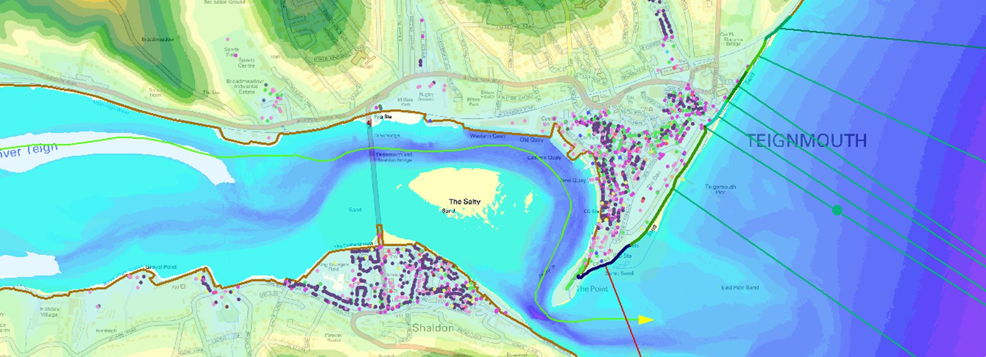
Supporting evidence-based decisions at a national scale
We provide our clients with solutions for a wide range of applications, working at all scales. It is for projects at regional and national level, however, where data modelling often delivers the greatest benefit.
On regional and national scale projects we have automated the analysis, transformation, modelling and interpretation of data. We bring consistency, efficiency, clearly defined workflows and more reliable data quality. We’ve delivered exceptional solutions for projects such as the National Flood Risk Assessment (NaFRA) modelling for the Environment Agency in England, and national flood hazard modelling for Ireland.
We develop automated geospatial processesing workflows that build on thoughtful data models. We've used this approach to build modelling tool and services for coastal zone management, vessel traffic movement and climate change projects. Our national scale modelling projects use automation and high power computing (HPC) to reliably model and analyse large quantities of data within tight timescales and budgets.
Web-based tools and services
We develop a wide range of web-based modelling and mapping services for our clients. Examples include river and coastal flood forecasting systems, modelling tools to support flood defence maintenance activities, dashboards driven by satellite data to monitor dams in remote locations, tools to visualise and run water resources investment models.
Accessible outcomes
Our solutions make complex numerical models accessible to non-specialists. We automate many of the steps needed to configure model runs and manage the model simulations. Model results are presented in easily understood interactive maps and graphs. We help our clients to make better informed management and investment decisions.
Benefits of data modelling, mapping and geospatial automation
We provide expert data analysis and mapping services, and we add structure and automation to streamline geospatial processes. We routinely develop and chain together specialist processes to deliver:
- Consistency Automating data processing tasks delivers a standard approach that can be repeated across many datasets, producing a single consistent output - for example a grid of tiled models.
- Efficiency Using a mostly automated approach, complex model build and post-processing tasks can be been chained together in GIS workflows and run on high end geoprocessing servers, reducing the time spent manually building models and processing results.
- Best use of specialist resources By automating much of the data processing, specialist staff can focus on fine-tuning, finessing and addressing data outliers, typically delivering a higher quality output than a fully manual approach.
- Quality We automate validation and quality checking steps, and test the data against particular rules that flag invalid or suspicious data for filtering or visual inspection. This minimises the time spent on manual data processing, freeing up specialist’s time to check the flagged data, review the results and seek out anything that, to the well-trained eye, looks odd.
- Repeatability With a substantially automated modelling approach it becomes easier to make changes and to repeat the processes, confident in the knowledge that changes in results are directly attributable to the method or data changes.
Want to know more?